Object ID:
2017.16.18
Title:
Maps Represent Real Places: Map Study 1
Creator:
American Printing House for the Blind
Description:
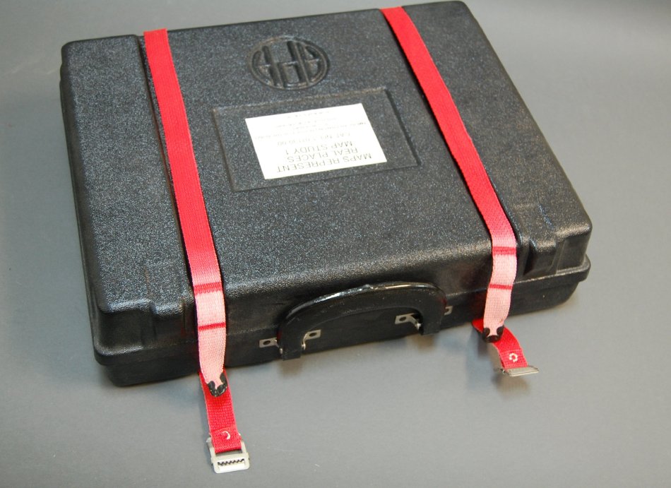
(ab) Black plastic two part carrying case with two red nylon web straps, APH logo cast in lid; (c) blue vinyl binder holding structional guide; (d) thirteen thermoformed and silkscreened simple tactile maps; (e) stack of coral, white, and green print score/record sheets; (f) blue vinyl circle; (g) four red vinyl circles; (h) large yellow vinyl rectangle; (i) ziplock bag of blue plexi citcles, red wood squares, and yellow plexi rectangles.
Dimensions:
H-4 W-15 D-13 inches
Date:
ca. 1986
Made by:
American Printing House for the Blind
Place of Origin:
Louisville, KY
Collection:
APH Collection
Provenance:
Introduced originally in 1984 as "Introduction to Map Study I" in an almost identical form. Renamed "Maps Represent Real Places" in the 1986 catalog. Project leaders were Frank Franks and Christine Cozen. The set was designed to teach the "symbolic mapping of known environments" and measure student's progress. Catalog# 1-01130-00.
Credit Line:
APH Collection, 2017.16.
Click to Enlarge
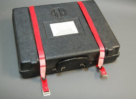 Map kit
 Map kit with components spread out
 Map kit
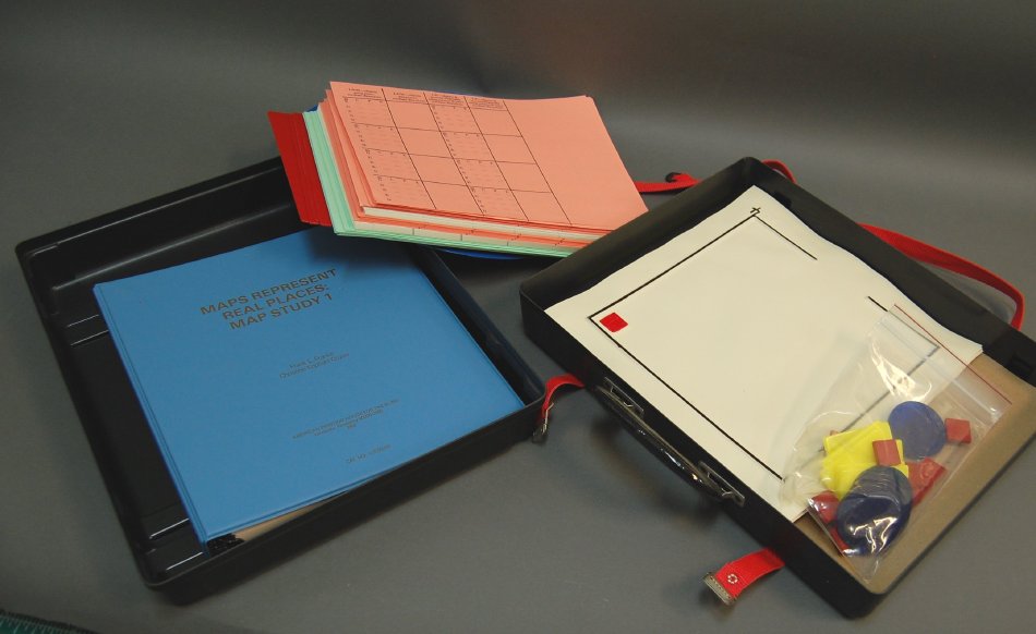 Map kit with components spread out