Object ID:
2013.15.1
Collection:
APH Collection
Creator:
Royal National Institute for the Blind
Title:
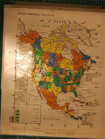
North America Political map with tactile overlay
Date:
1990
Scope & Content:
Color map of North America, printed on white plastic sheet; clear plastic overlay with captions in contracted braille; map shows Canadian provinces and their capitals, U.S. states and their capitals, Mexico, Central American countries, and the main Caribbean islands.
Credit Line:
APH Collection, 2013.15.
Click to Enlarge
 Political map of North America
 Political map of North America